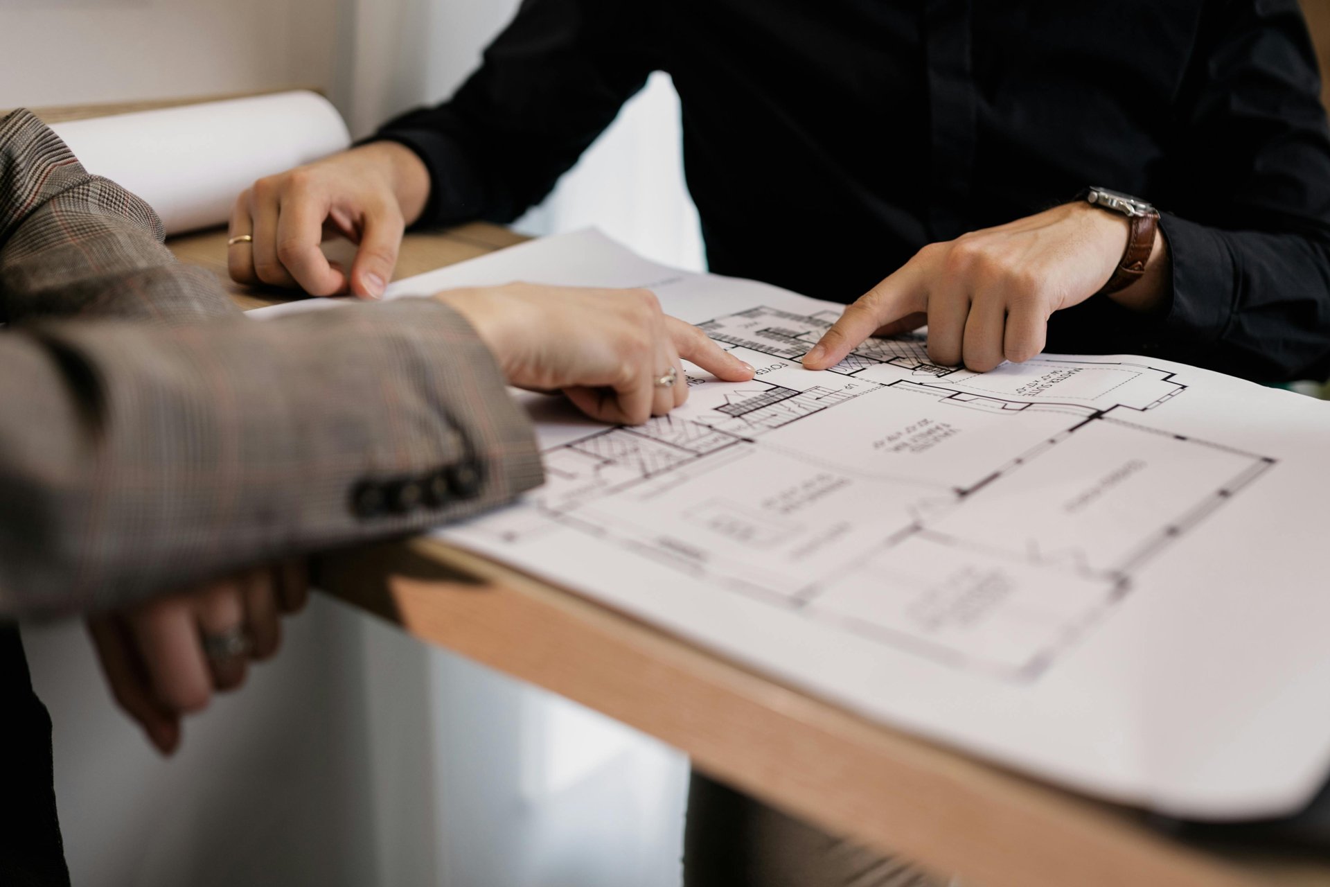
What is 2D Mapping & Why it is Useful
With all the buzz around 3D scans and immersive models, it’s easy to forget how powerful and practical a good 2D site plan or map can be. For many clients in real estate, insurance, and property management, 2D imaging is still preferred for speed, clarity, and cost-efficiency.
Let’s break down what 2D imaging is—and why it might be exactly what your project needs.
What is 2D IMAGING?
2D imaging involves creating scaled, top-down drawings of a defined geographic area —think floor plans, site outlines, or blueprint-style visuals. 2D images can be created using aerial drone photos, on-the-ground measurements, or using LiDAR scanning equipment to provide greater certainty of accuracy and consistency of output quality from project to project.
When 2D IMAGING is the Right Fit
1. Real Estate Listings
Clear, simple floor plans for real estate help potential buyers understand layout and flow at a glance. A good 2D image adds polish to your listing and builds trust with clients.
2. Insurance Documentation
Whether you’re submitting a claim or creating a record of assets, a 2D image of the property provides a clean, shareable snapshot of structure position and interior configuration. These are easy to read, useful for long-term record keeping and can be shared and reproduced.
3. Permits & Planning
Municipalities and consultants often request a set of drawings as part of development or renovation applications. Using LiDAR imaging services to create a set of “as built” 2D site drawings is a straightforward way to communicate dimensions and building layout.
Why Choose 2D Over 3D?
Speed: 2D mapping is generally faster to produce and process compared to 3D models.
Simplicity: Not every project needs immersive detail. If your goal is basic layout visualization, 2D might be all you need.
Affordability: When budget matters, 2D imaging provides excellent value for dollars invested without sacrificing clarity.
Get a 2D Imaging Estimate
Not sure if 2D mapping is the right fit? Try our cost estimator or explore our services to see what’s possible for your next project.
questions?
We’re happy to chat. Contact us today - we can meet or speak over the phone to discuss the right solution for you.

