
Can I Use BC Government LiDAR Data for My Project?
If you’ve started researching elevation or mapping data for a project in British Columbia, you may have come across publicly available LiDAR data from the BC government. It’s a great resource—but it may not provide you with what is needed for your project..
In this post, we’ll explain how to locate data available for your project location, limitations to consider, and what Rekol 5D Services can offer to in addition to public data sets.
Where to Find BC Government LiDAR Data
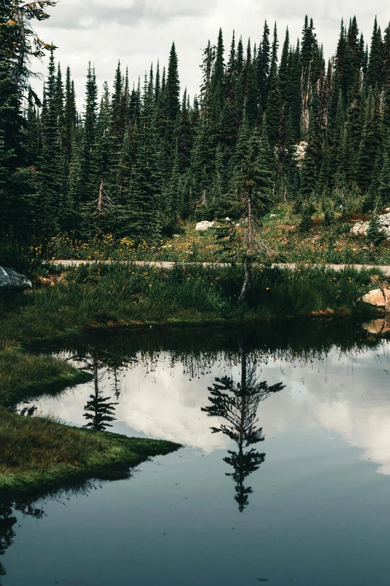
The BC government makes some LiDAR data publicly available for free! Check out BC Data Catalogue or iMapBC. The user interface tools let you search by location and you can download LiDAR data for “map tiles” where available.
It’s a good starting point if you’re:
In early-stage planning and want an overview of terrain
Working on a large-scale overview for a major study or development project
Comfortable with using GIS software and how to use LiDAR data sets
Limitations of Public LiDAR Data
While the idea of free is always appealing, it’s not always enough for specific project needs. Some common issues include:
1. Gaps in Coverage
Not all areas of BC are mapped with LiDAR. In other cases available data might be outdated by 10 years or more.
2. Lower Accuracy or Resolution
Government datasets are collected at different times for different purposes. The data resolution may be too coarse for detailed design work and precise measurements. In the case of scans of structures - this is likely the case.
3. File Complexity
If you're unfamiliar with how to use LiDAR files, the data can be overwhelming. LAS and LAZ files require specific software and know-how to process into usable formats to view map contours and visualize 3D surfaces.
When to Hire a Professional
If you’ve checked public resources and the data you need is either not available or is not detailed enough for your project—it's time to bring in Rekol 5D. We can offer custom LiDAR imaging services across BC, tailored to your site and your goals.
We can help you:
Access and use available public data in combination with acquiring new data
Plan targeted aerial LiDAR imaging surveys of terrain and structures
Plan LiDAR image captures for simple and complex structures including residential, commercial and industrial facilities
Deliver user-friendly outputs anyone can access and actually work with
Need Help Navigating LiDAR Data?
We’ve worked with homeowners, developers, municipalities, insurance and legal professionals to help them make sense of LiDAR for their applications. Whether you need a custom LiDAR imaging survey or help interpreting existing data, we’re happy to help.
👉 Contact us to talk about your project
👉 Or learn more about our LiDAR survey services
New to LiDAR?
Check out our earlier post: How Much Does LiDAR Cost in BC?